INTERACTIVE MAP ” This is a Google Map of Fallout Reporting Posts, Nuclear Detonation Reporting Centres, and Blast Bunkers, ca 1963. Map begun by Andrew Burtch, Canadian War Museum (2014), contributions and edits welcome.” Latest Publication date Aug 2022.
The Rise and Fall of Canada’s Cold War Air Force
Extract from article link above: “During the critical Cold War period, the RCAF became Canada’s first line of defence, making an essential contribution to the collective defence of Western Europe through the North Atlantic Treaty Organization. Concurrently, the RCAF underwent tremendous expansion in Canada contributing to North American defence, along with significant increases in its training, maritime and transport capabilities. The RCAF developed into the largest military service with the biggest portion of the defence budget. “
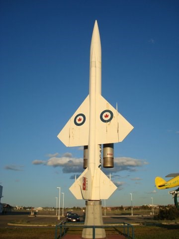
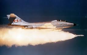
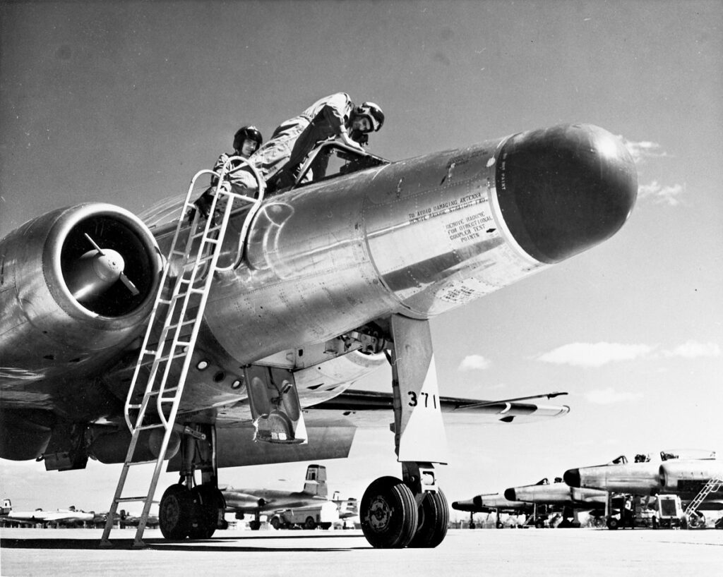
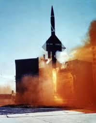
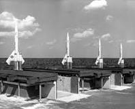
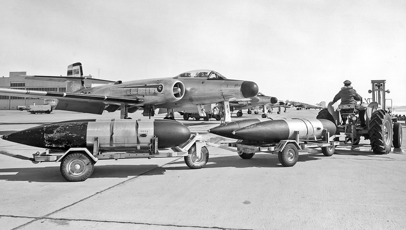
THE BOMARC MISSILE& THE BOMARC MISSILE CRISIS -Published by: The Friends of the Canadian War Museum Researched and Written by: Capt (N) (Ret’d) M. Braham Extract: “The Bomarc Missile Crisis: In 1958,the Diefenbaker government was faced with two feasible courses of action for a renewed air defence strategy. One was to complete the Avro Arrow production run at the staggering cost of $12.5 million for each aircraft. The alternative was to cancel that project and buy two relatively cheap Bomarc-B nuclear surface-to-air missile installations, their complementary command and control system, and 100 US-built interceptors at a greatly reduced cost of $2 million each”. Mike Braham is a valued volunteer at the Diefenbunker, Canada’s Cold War Museum, noted for giving very interesting and comprehensive tours, being an articulate and knowledgeable guide and spokesperson and most importantly is the founder of the bunker’s Alumni Association.
The Royal Canadian Navy during the Cold War
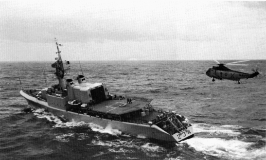
The end of the Second World War saw the beginning of the Cold War — the struggle for dominance between Soviet-dominated communist countries and democratic countries (including the United States and Canada) in the post-war years. This tense showdown dominated world affairs for decades until the collapse of the Soviet Union in the early 1990s. Canada joined the North Atlantic Treaty Organization (NATO) in 1949 to form part of a western military alliance to help counter the Soviet threat. The Naval Force the RCN has been a significant part of is the Standing Naval Force Atlantic (STANAVFORLANT). For many decades Canadian ships have trained and served on missions with NATO forces on a regular basis.
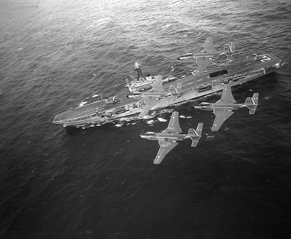
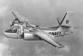
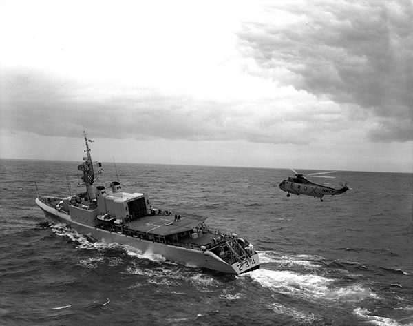
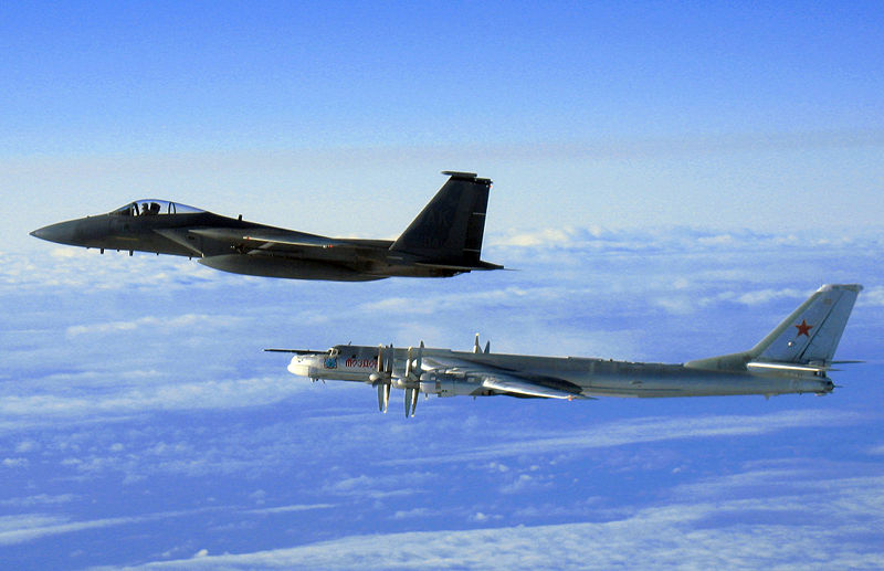
In addition to upholding our international treaty responsibilities during the Cold War, the Canadian Navy patrolled our own shores on the lookout for the Soviet submarines and long-range aircraft that were probing our defences. The stakes were high — when the Cuban missile crisis erupted in 1962 (after the United States discovered that the Soviet Union had stationed nuclear weapons just off the American coast in Cuba), RCN ships put to sea when the world seemed on the brink of nuclear war.
The Canadian Brigade in North West Europe
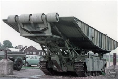
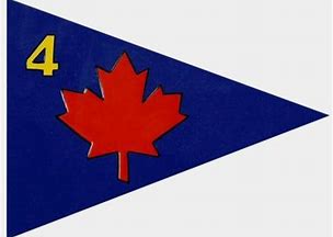
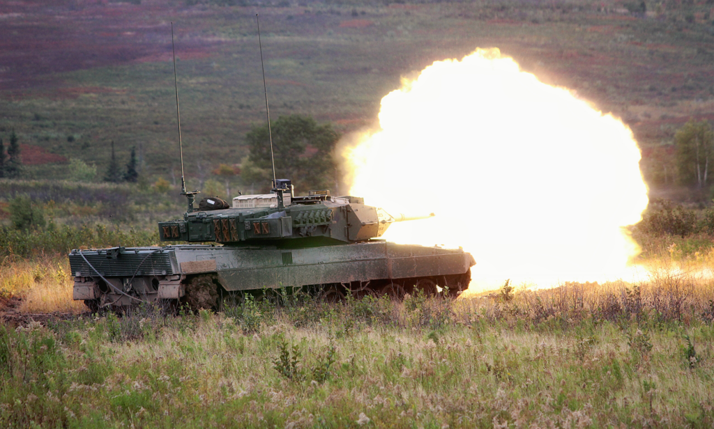
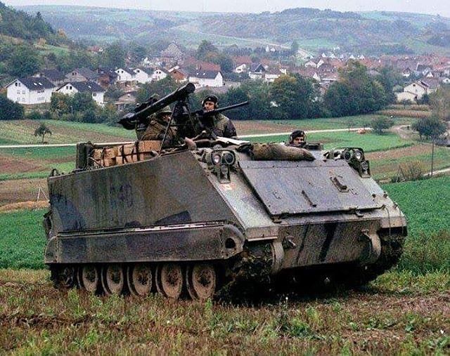
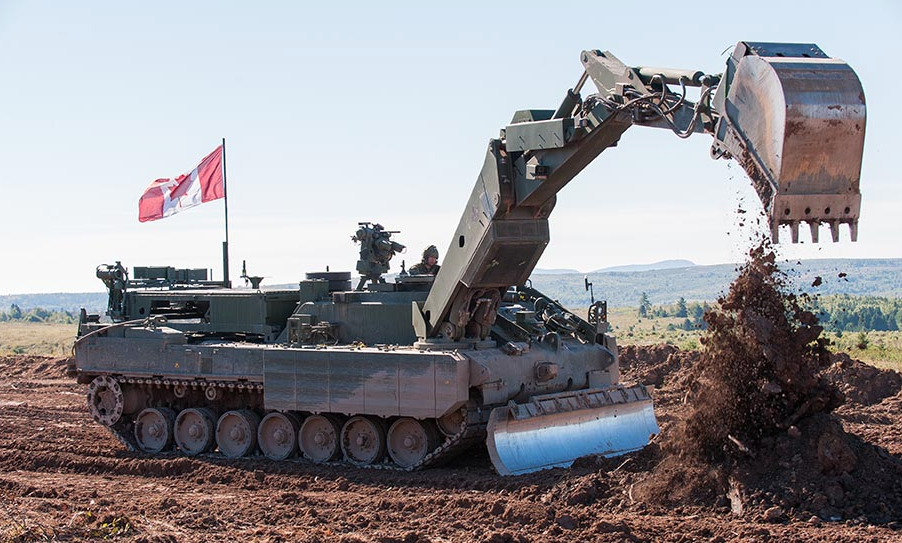
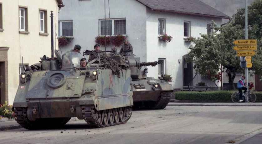
In 1951, Canada contributed to NATO by placing a brigade on the ground in West Germany to aid in the defence of Europe. The brigade was originally stationed in Soest, and was composed of over 6000 men, with another two brigades on reserve in Canada. The two reserve brigades would be transferred to Europe immediately in the event of conflict. The brigade, although renamed several times, finally came to be known as 4 Canadian Mechanized Brigade Group (4 CMBG), and it remained on the ground in Europe until it was disbanded in 1993. Click HERE for more detailed information.
The DEW (Distant Early Warning) Line

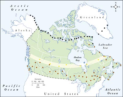
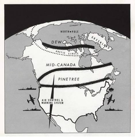
In December 1954, construction began on the Distant Early Warning (DEW) Line, an integrated chain of 63 radar and communication centres stretching 3000 miles from Western Alaska across the Canadian Arctic to Greenland.1 This predominantly-American defence project, designed to detect Russian bomber incursions into North American airspace, was the largest technological undertaking the Canadian Arctic had yet witnessed. The DEW Line was only one in a series of defence projects that Canada and the United States had jointly embarked upon in the Far North since the Second World War.
BACKGROUND OF NORTH AMERICAN AIR DEFENSE – NORAD (Extracts from USAAD Digest 1960 Chapter 2)
ORIGINS
NORAD was formed in September 1957 following an agreement between the governments of Canada and the United States which, in effect, was official recognition of the fact that air defense of the two countries is an indivisible task. Early in 1954, a joint authorized a combined planning group of representatives from the Royal Canadian Air Force and the U.S. Air Force AD commands. Studies conducted by this group indicated that the best air defense of North America was an integrated defense, with forces of both countries operating under a single command, responsible to both governments.
Following the completion of another study 2 years later which had the same conclusions, integration of operational control of the two forces was recommended. In the meantime, the two countries had gone ahead with the development of a joint radar warning network. Together, they built the Pine Tree line of radars across southern Canada. Canada started constructing the mid-Canada line, and the United States began the distant early warning (DEW) line across the northern rim of the continent. Conditions for operating and manning these lines were mutually agreed upon. Thus, by 1957, there had been a considerable history of joint planning, coordinating, and sharing, and the need for further integration had been recognized. In August of that year, the United States Secretary of Defense and the Canadian Minister of National Defense announced the two governments had agreed to establish a system of integrated operational control of AD forces for North America and an integrated headquarters.

On 12 September 1957, NORAD was established, followed by the signing of an official agreement by both countries on 12 May 1958. This agreement provided, among other things, that NORAD was to be maintained for a period of 10 years, or such shorter period as agreed upon by both countries. The Commander in Chief, North American Air Defense (CINCNORAD), was to be responsible to the Chief Defence Staff of Canada and the Joint Chiefs of Staff of the United States. During the absence of CINCNORAD, command would pass to the Deputy CINCNORAD. The agreement further stipulated that the appointment of CINCNORAD and his deputy had to be approved by both governments and that both would not be from the same country.
NORAD FORCES
NORAD has no organic fighting elements of its own, but is furnished combat-ready forces including Reserve and National Guard forces by five component commands: U.S. Army Air Defense Command (ARADCOM); U.S. Air Force Air Defense Command (USAF ADC); U.S. Naval Forces CONAD (USNAVFORCONAD); Royal Canadian Air Force Air Defence Command (RCAF ADC); and the AD forces of the Alaskan Command. CINCNORAD (fig 7) exercises operational control over all forces attached or otherwise made available by component commanders.
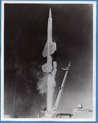
Most of NORAD’s fighter-interceptor squadrons are provided by the U.S. Air Force Air Defense Command (USAF ADC). This component also contributes Bomarc surface-to-air missiles and a large number of radar squadrons and early warning airborne radars. USAF ADC is responsible for the ballistic missile early warning system (BMEWS) and SPACETRACK (a part of SPADATS), providing NORAD important information about ballistic missiles and orbiting space objects. The Air National Guard provides interceptor squadrons and aircraft control and warning squadrons on full-time assignment to NORAD through USAF ADC.The Royal Canadian Air Force Air Defence Command (RCAF ADC), not a member of CONAD but operating directly under CINCNORAD, provides fighter-interceptor squadrons and two surface-to-air Bomarc missile squadrons. It also contributes heavily to performance of surveillance, detection, and identification functions.
OPERATIONS
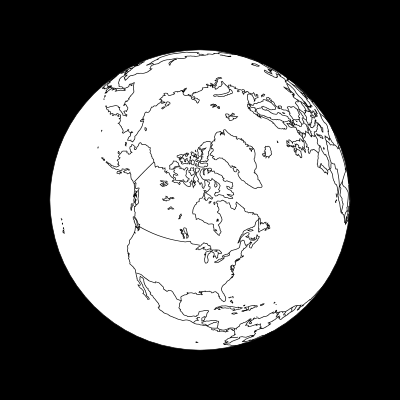
NORAD must guard against manned bomber attack, ballistic missile attack, and the space threat. It must watch over the North American Continent from treetops to beyond the atmosphere. Currently, the North American Continent is divided into eight regional areas of AD responsibility. Six of these are numbered regions, including some of the southern portions of Canada and all of the continental United States, excluding Alaska. The Northern NORAD Region encompasses the rest of Canada, including highly populated industrial areas of Ontario and Quebec. The Alaskan NORAD Region completes the picture. Each region commander is responsible to CINCNORAD for all aerospace activity within his designated area. Each of these NORAD regions is further subdivided into areas called sectors, the basic NORAD unit for fighting the air battle. Sectors that cross the international boundary are jointly manned by United States and Canadian personnel. The size of one sector may differ greatly from another, depending generally on the amount of air traffic and number of vital target areas located within sector boundaries.
To accomplish its mission, NORAD must accomplish four basic steps: It detects the presence of airborne objects, aircraft, or missiles; identifies them as friendly or hostile; intercepts and examines those not identified as friendly; and destroys those identified as hostile, using interceptor aircraft or AD missiles.
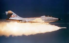
NORAD employs three detection systems, each designed to detect one of the three possible threats. The northernmost detection system is the ballistic missile early warning system (BMEWS). The three BMEWS stations (Thule, Greenland; Clear, Alaska (fig 8); and Fylingdales Moor in northern England) are electronic systems providing detection and early warning of attack . Identification is one of NORAD’s most difficult problems, caused chiefly by the large amount of air traffic in the United States and Canada. On the average, there are approximately 600 to 1,000 overwater incoming flights to the United States and Canada each day, plus an estimated 200,000 internal flights.
Aircraft penetrating the North American Continent enter air defense identification zones (ADIZ) established around and throughout the continent to assist in identification processing. Any aircraft originating from an oversea area must enter an ADIZ within 20 miles of a predetermined point and within 5 minutes of an estimated time, based on the pilot’s flight plan filed at his takeoff point and sent ahead to the Federal Aviation Agency (FAA) in the United States and Department of Transport (DOT) in Canada. This information is relayed to appropriate NORAD sector direction centers (NSDC) and used for correlation when the track is acquired.
If an aircraft enters an ADIZ, but is not within prescribed limits, it is declared an unknown and an interceptor is scrambled to make positive visual identification. The ADIZ system is part of the NORAD identification process known as flight plan correlation. Under combat conditions, the identification process would be somewhat simplified when provisions of emergency plans, SCATER (security control of air traffic and electromagnetic radiation) and ESCAT (emergency security control of air traffic), are placed in effect. SCATER in the United States and ESCAT in Canada provide for orderly grounding of non-essential aircraft and for establishment of military control over radio navigational aids.m enemy intercontinental ballistic missiles (ICBM).
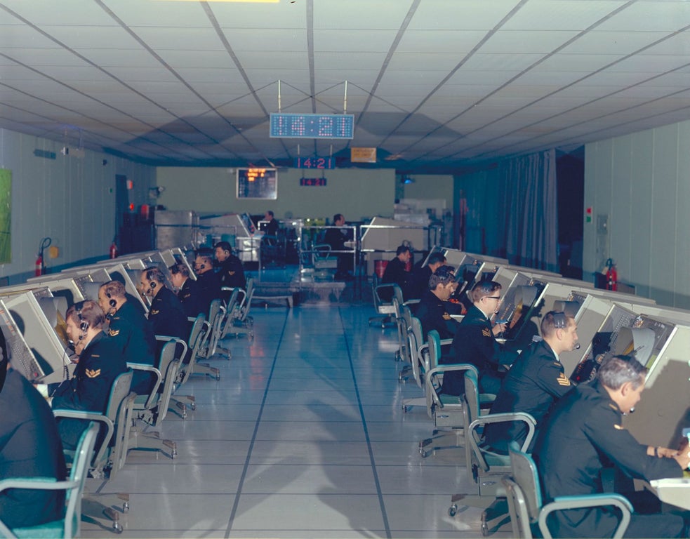
Nerve center of the North American Air Defense Command is the Combat Operations Center (COG), situated in a two-story concrete blockhouse at Ent Air Force Base, Colorado Springs, Colorado. It is from the COG that first warning of an attack on North America would come; and if such an attack should come, the air battle for survival of the United States and Canada would be directed from the COG. Data are received in the COG from the huge complex of radar stations, interceptor squadrons, missile sites, space tracking and ballistic missile warning units, and NORAD regions and sectors and stored in a large digital computer. Here, too, information is received from other sources, such as the Strategic Air Command, naval forces off both coasts, the Pentagon, and the Department of National Defence in Canada.
This information is electronically displayed by a system known as Iconorama . The system permits almost instantaneous observation of the positions of aerospace and seaborne objects thousands of miles away and over any part of the continent covered by radar networks. The Iconorama flashes surveillance information on a large, theater-like screen for easy observation.
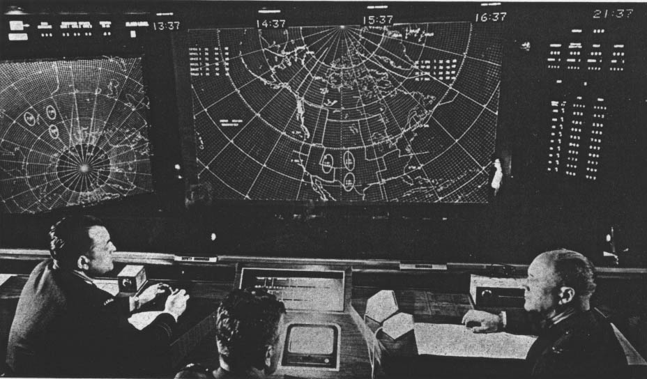
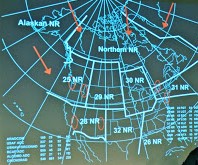
ABOVE is an actual NORAD Attack Situation ICONORAMA display at NORAD HQ in 1964.
To the LEFT is part of a simulated display version (created by Amber Peters) in the Diefenbunker Museum’s Reconstructed Federal Warning Centre (currently display not functioning)
SAGE (Semi Automatic Ground Environment) 1963-1983
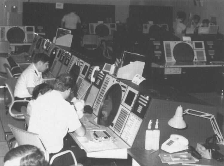
The SAGE system was a continental air-defense network system commissioned by the U.S. military and used by NORAD (including of course Canada) as one of its most important information gathering, decision making, presentation and response control systems.
SAGE Computer System (developed in the 1950’s, operational by 1963). At 250 tons and 60,000 vacuum tubes, the SAGE system was the largest, heaviest and most expensive computer system ever built! SAGE stood for “Semi-Automatic Ground Environment.” SAGE was the most ambitious computer project ever undertaken, The Project required over 800 programmers and the technical resources of some of America’s largest corporations.
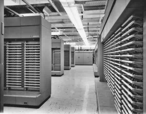
It was started in the 1950’s and was operational by 1963. It remained in continuous operation until 1983, over 20 years. SAGE was the brainchild of Jay Forrester and George Valley, two professors at MIT’s Lincoln Lab. SAGE was designed to coordinate radar stations and direct airplanes to intercept incoming planes. SAGE consisted of 23 “direction centers,” each with a SAGE computer that could track as many as 400 airplanes.
In 1948, Jay Forrester wrote a lengthy document containing his concept for a plan to improve America’s air defense using techniques learned from W.W. II radar development. The SAGE project resulted in the construction of 23 concrete-hardened bunkers across the United States (and one in Canada at the underground facility in North Bay, Ontario) linked into a continental air-defense system called “SAGE.” . SAGE was designed to detect atomic bomb-carrying Soviet bombers and guide American missiles to intercept and destroy them. SAGE was linked to nuclear-tipped Bomarc and Nike missiles. Each of the 23 SAGE “Direction Centers” housed a A/N FSQ-7 computer, the name given to it by the U.S. Military. The SAGE computer system used 3MW of power, and had approximately 60,000 vacuum tubes. It took over 100 people to operate. The total project cost is estimated to have been between 8-12 billion dollars (1964).
Four main contractors were responsible for SAGE: IBM for hardware; Burroughs for inter-Center communications, Massachusetts Institute of Technology’s Lincoln Laboratories for system integration; Western Electric for design & construction of buildings; and SDC (part of the RAND Corporation) for software. In 1958, the MITRE Corporation was formed out of the Computer System Division of Lincoln Laboratories. Much of MITRE’s initial work focused on the software development of SAGE’s digital computer system, radar surveillance, communications, and weapons integration. More importantly however, MITRE had the role of integrating many elements of the SAGE system
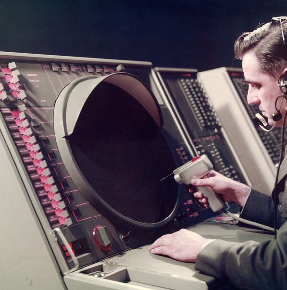
The SAGE computer was one of about 30 computers constructed. The SAGE was the largest computer ever built. It was built by IBM, and occupied two of the four stories of the SAGE building. It had more than one hundred & fifty display consoles housing a 48 inch long Vector CRT, each with a “light gun” as well as a “Typotron” display tube, capable of displaying more than 25K characters per second.
Operators accessed the SAGE system through cathode ray tube displays and used a light pen to select tracks of potential incoming hostile aircraft and manage their status. When SAGE was deployed in 1963, it consisted of 24 Direction Centers and 3 Combat Centers, each linked by long-distance telephone lines to more than 100 radar defense sites across the country, thereby establishing one of the first large-scale wide-area computer networks. SAGE remained in continuous operation until 1983.
Each one of the 24 installations in fact had two identical CPUs, one of which would be in standby mode and one of which would be running. Each one had about 60,000 vacuum tubes and weighed 250 tons. The SAGE installations were enormous, requiring specialized generators and cooling systems to support the computers.

SAGE Installation At Minot Air Force Base, North Dakota (an example of a SAGE site)
In 1958, during the Cold War, United States Air Defense Command established a Semi-Automatic Ground Environment (SAGE) sector at Minot AFB, it was construction of a huge, windowless blast-resistant concrete building. IBM engineers installed two large, 275-ton computers in the basement of the building. Activated in June 1961, the SAGE facility processed air surveillance information and sent the data to Air Defense Command units.
SAGE “Today” (circa 1980s)
Portions of the SAGE computer are now at various computer museums around the United States. The Smithsonian Air and Space Museum has some SAGE components.
Technical Description
Size: CPU (50 x 150 feet, each); consoles area (25 x 50 feet) (total system=20,000 square feet)
Weight: 250 tons (500,000 lbs)
Architecture: duplex CPU, no interrupts, 4 index registers, Real Time Clock
Word Length: 32 bits
Memory: magnetic core (4 x 64K word); Magnetic Drum (150K word); 4 IBM Model 729 Magnetic Tape Drives (~100K words ea.); all systems with parity checking
Memory Cycle Time: 6us
I/O: CRT display, keyboard, light gun, realtime serial data (teletype, 1300 bps modem, voice line)
Performance: 75KIPS (single-address)
Technology: vacuum tubes (60,000); diodes (175,000); transistors (13,000)
Power Consumption: about 3 Megawatts
